Hiking in the Golan Heights
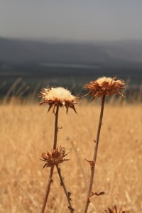
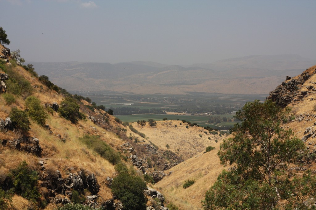
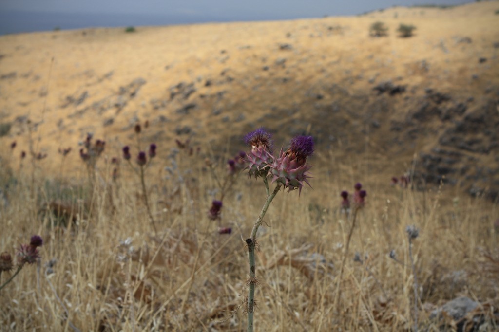
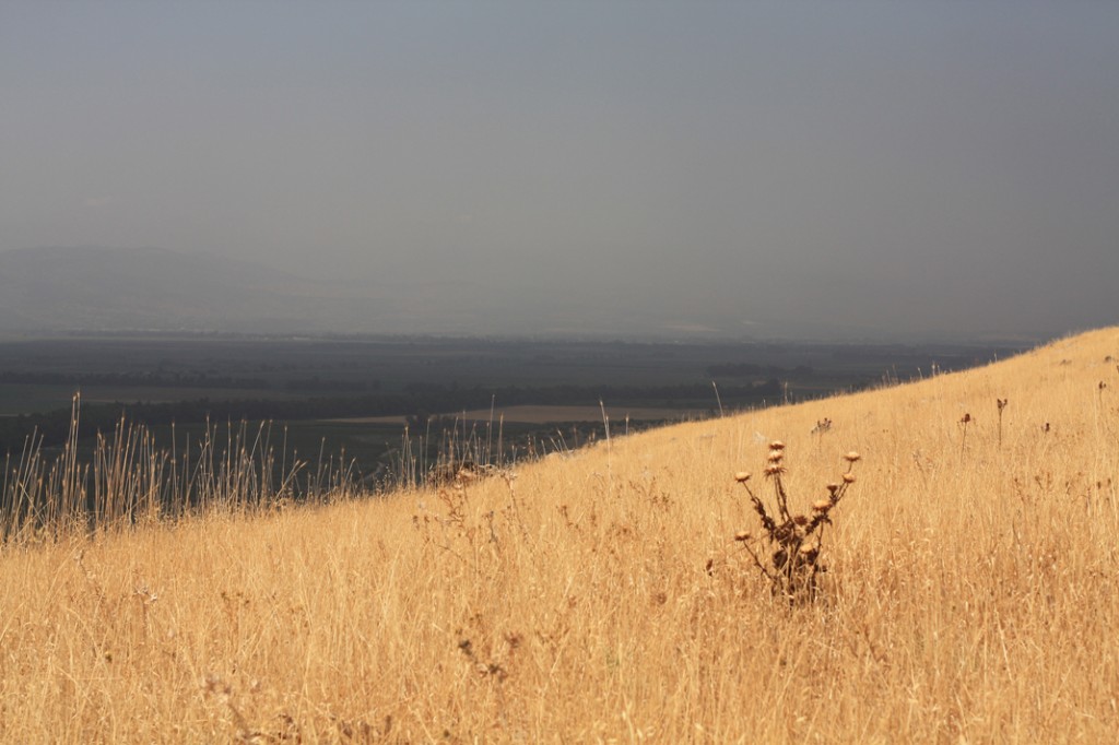
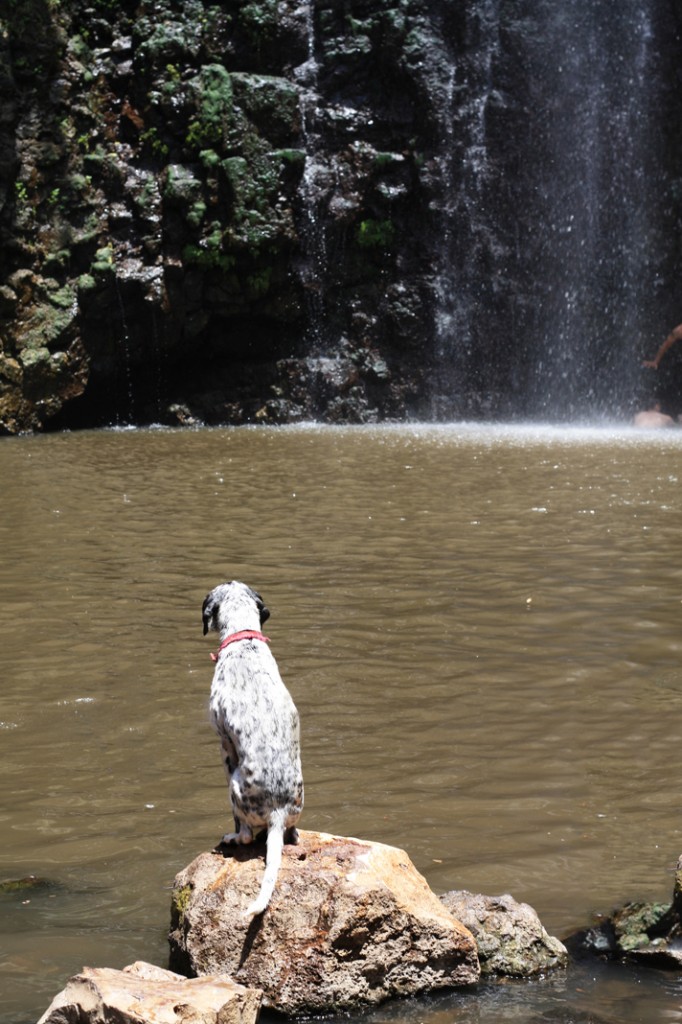
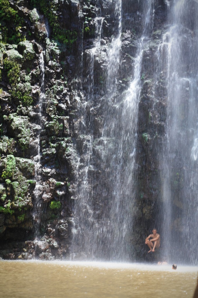
Last Saturday I went to a great hike in the Golan Heights with Yotam and a group of hikers. The Golan area is in the North of Israel at the border with Syria. Besides the fact that it was incredible hot, it was a gorgeous day! The Golan is a desert area, but at the same time, a series of rivers go through it. So you end up with these landscapes where the hills are completely dry and the plains very green. It is beautiful! The hike was interleaved with stops at waterfalls where we went for a quick and very refreshing swim.
One thing that was interesting about our hiking group was that we all came from various places in the world. Almost no one was born in Israel, but most of them now live in Israel. Everyone was at least bilingual and has lived in two or more countries in the world. The nationalities were very diverse: Britain, France, Venezuela, USA, Australia etc. and people had trouble answering the question “where are you from?”. It is certainly not surprising that I identify with these people. Although the Mediterranean temperament is quite at the opposite of that of a calm Swiss, Israelis have moved around in the same way I have.
Remainings of the War
In the area of the Golan, Israel and Syria fought several wars about water. The problem started in 1949 when the armistice agreements created a set of demilitarized zones in the Golan. One of these zones went up to the Yarmuk & Jordan rivers at the border of Israel and Syria. Israel, Syria and Jordan were supposed to share the waters, but that didn’t work very well.
Since this whole area was basically a swamp that was not efficiently used, Israel started two projects. The first one was to drain the area and the second one was to start a National Water Carrier Project and to divert the water towards central Israel where they could use it.
The Syrians didn’t like this very much and attacked the Israeli workers in the swamp. They also started a water diversion plan together with Lebanon. That plan would have diverted the water from flowing into the sea of Galilee where the National Water Carrier started. As a consequence, it would have reduced Israel’s overall water supply by 11%.
The Israel Defence Forces attacked the diversion works in 1965. This caused a chain of border violence that eventually led to the six-day war in 1967 between Israel and Egypt, Jordan and Syria.
Many people believe that in future water will remain the likeliest cause of conflict in the Middle East. Here is an interesting article about that.
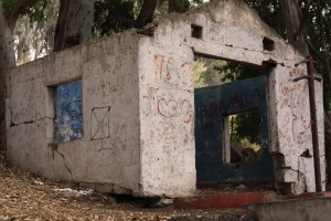
During the hike, we saw some traces of this war. We came by a few Syrian military bases. Although these buildings were all in ruins, I have to say, they must have been surprisingly nice. They were hidden between trees and had a nice pool in front of it. They overlooked the plain where the whole diversion process happened.
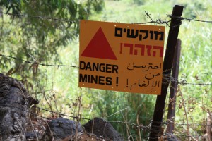
Another trace of the war are the numerous landmines in this region. For the last part of the hike, we needed to be careful to stay on the trail as both sides were blocked off with large signs warning about the landmines. It is hard for Israelis to clear up this area, because Syrians did not keep track of where and how many landmines they placed in this area. Therefore, you can never be sure that it is clear. Accidents are rare, but they still happen especially with dogs and children that tend to ignore the fences and warnings.
Coming home I was completely dead, but I look forward to my next hike in Israel which is probably going to be in the Negev desert!
View more Images!
